Imagen · EFMA·IMG·2055

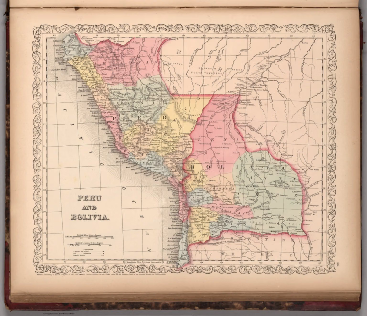
Perú y Bolivia: mapa del atlas universal de Mitchell (1859)

1859 · Región andina

Perú y Bolivia: mapa del atlas universal de Mitchell (1859)
1536 × 1322 pxVer original ↗

Mapa de 1859 de Perú y Bolivia, publicado en A New Universal Atlas de Samuel Augustus Mitchell. Muestra capitales, provincias y relieve.

Fecha
1859
Lugar
Región andina
Personas
Samuel Augustus Mitchell (autor/a)
Formato
JPEG / WebP / AVIF
Licencia
Images may be downloaded and used following Creative Commons CC BY-NC-SA 3.0 license. Image credit should be given to "David Rumsey Map Collection, David Rumsey Map Center, Stanford Libraries." Please contact the David Rumsey Map Collection for commercial use. https://www.davidrumsey.com/about/copyright-and-permissions
Crédito
Mitchell, Samuel Augustus
Nº
EFMA·IMG·2055
Ver en la enciclopedia: Historia

Registros relacionados