Image · EFMA·IMG·2055

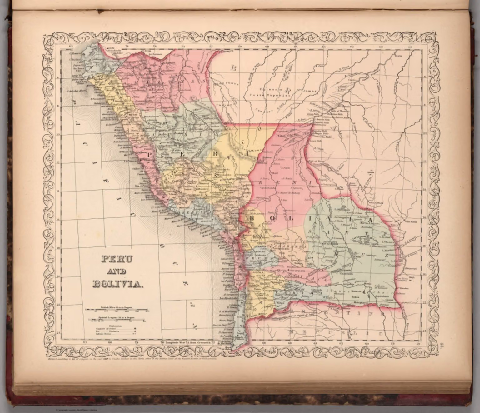
Peru and Bolivia: map from Mitchell's universal atlas (1859)

1859 · Región andina

Peru and Bolivia: map from Mitchell's universal atlas (1859)
1536 × 1322 pxView original ↗

1859 map of Peru and Bolivia, published in Samuel Augustus Mitchell's A New Universal Atlas. It shows capitals, provinces and relief.

Date
1859
Place
Región andina
People
Samuel Augustus Mitchell (author)
Format
JPEG / WebP / AVIF
Licence
Images may be downloaded and used following Creative Commons CC BY-NC-SA 3.0 license. Image credit should be given to "David Rumsey Map Collection, David Rumsey Map Center, Stanford Libraries." Please contact the David Rumsey Map Collection for commercial use. https://www.davidrumsey.com/about/copyright-and-permissions
Credit
Mitchell, Samuel Augustus
No.
EFMA·IMG·2055
See in the encyclopedia: History

Related records